|
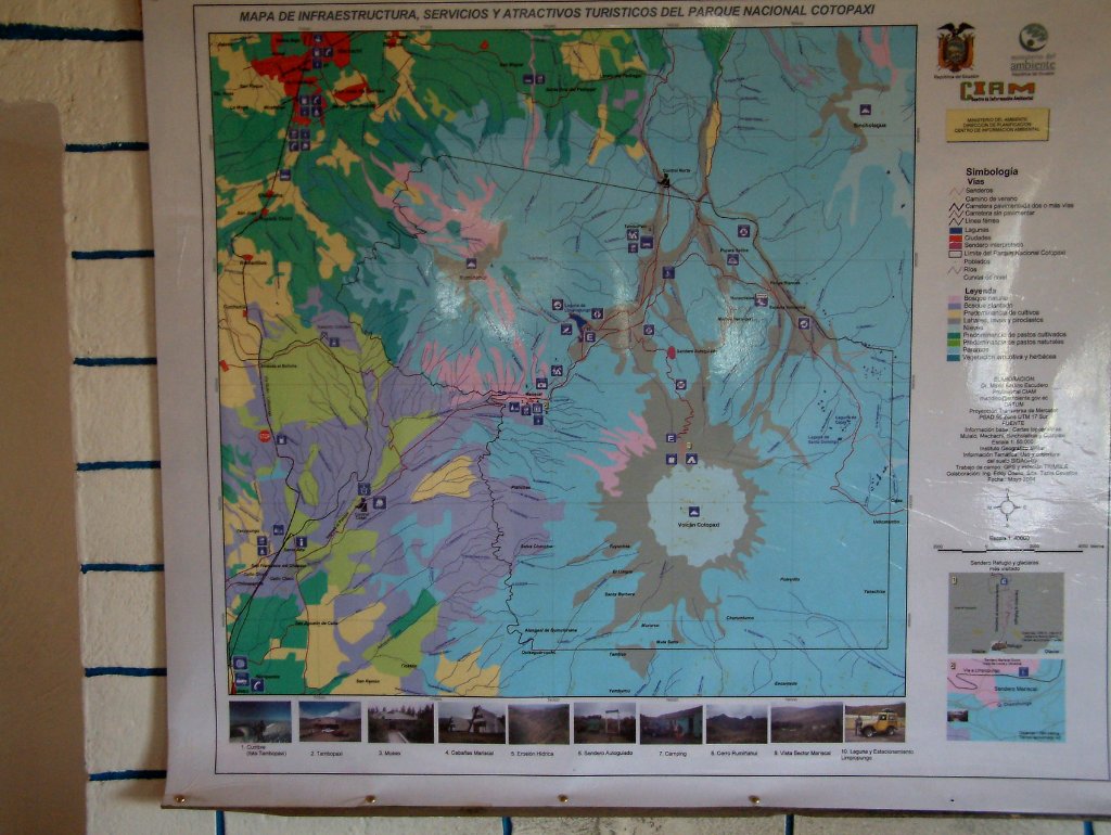 |
| Map of the Cotapaxi in the visitor center | |
| Latitude: S 0°39'8,28" | Longitude: W 78°30'46,26" | Altitude: 3545 metres | Location: Hacienda Ilitío de Maldonado | Country: Ecuador | Copyright: Ron Harkink | See map | |
| Total images: 13 | Help | |
|
|
|
| Map of the Cotapaxi in the visitor center | |
| Latitude: S 0°39'8,28" | Longitude: W 78°30'46,26" | Altitude: 3545 metres | Location: Hacienda Ilitío de Maldonado | Country: Ecuador | Copyright: Ron Harkink | See map | |
| Total images: 13 | Help | |